CHEMIN CHOUETTE 04

The woodland edge.
Through Val-de-Ruz.

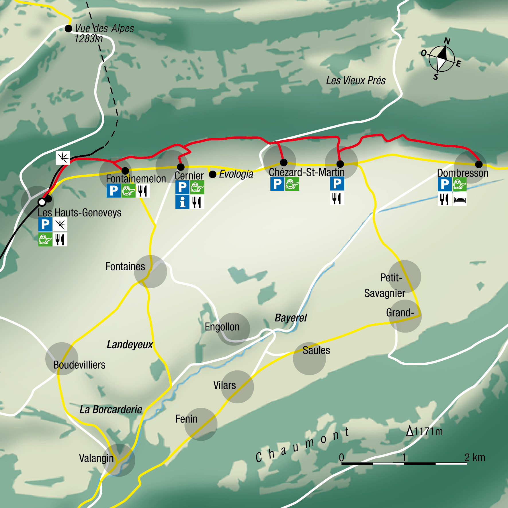
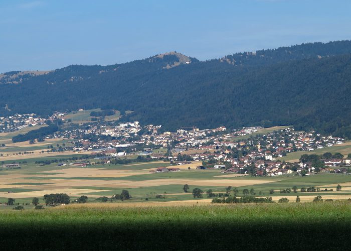
La lisière: this elevated walk along the forest edge leads from Les Hauts-Geneveys to Dombresson, from village to village, with beautiful views and interesting natural features.

Les Hauts-Geneveys → Fontainemelon → Cernier → Chézard → Dombresson
Chemins chouettes — The woodland edge

THE ROUTE

Follow
the trail.

Les Hauts-Geneveys → Fontainemelon → Cernier → Chézard → Dombresson
FIND YOUR WAY

Maps, elevation profiles
and descriptions.

Choose a route option that suits your time and interests. The times shown do not include breaks.

CHOOSE YOUR ROUTE

A loop.
Or part of the trail.

ROUTE OPTION

Main route

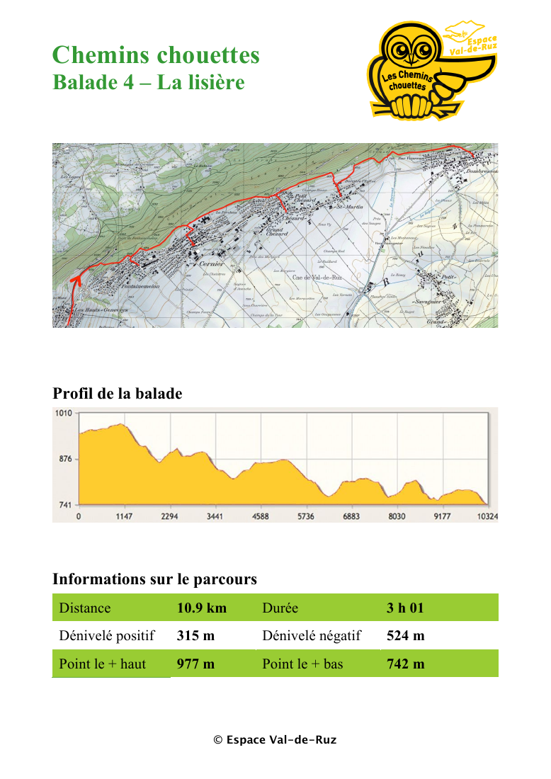
10.9 km · 3 h 01
Elevation change: +315 m / −524 m

ALONG THE WAY

Chemins chouettes — The woodland edge

Before you set off.

Check route conditions and transport timetables. Bring suitable equipment and read the practical information.

© 2026 · Conçu par Repair Hub