CHEMIN CHOUETTE 03

The cattle passages.
Through Val-de-Ruz.

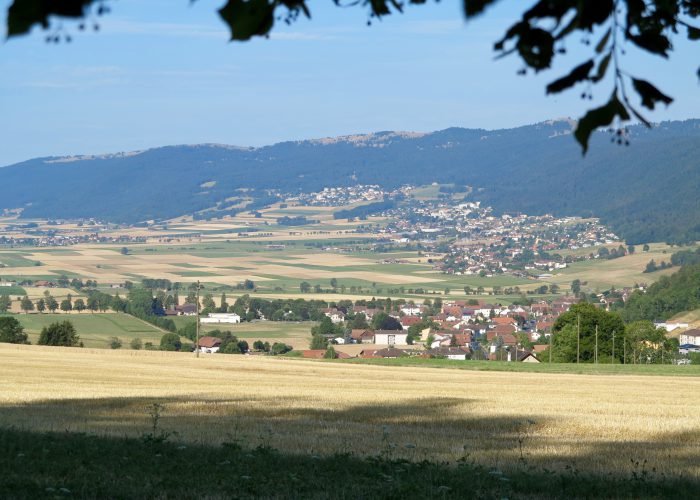
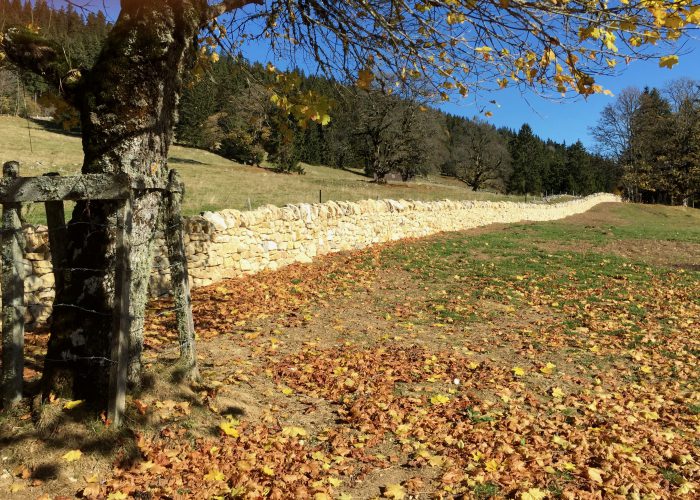
Les boviducs: the rare hedgerow landscape of the Montagne de Cernier and Chézard, with wooded pastures crossed by an exceptional network of cattle lanes known as boviducs.

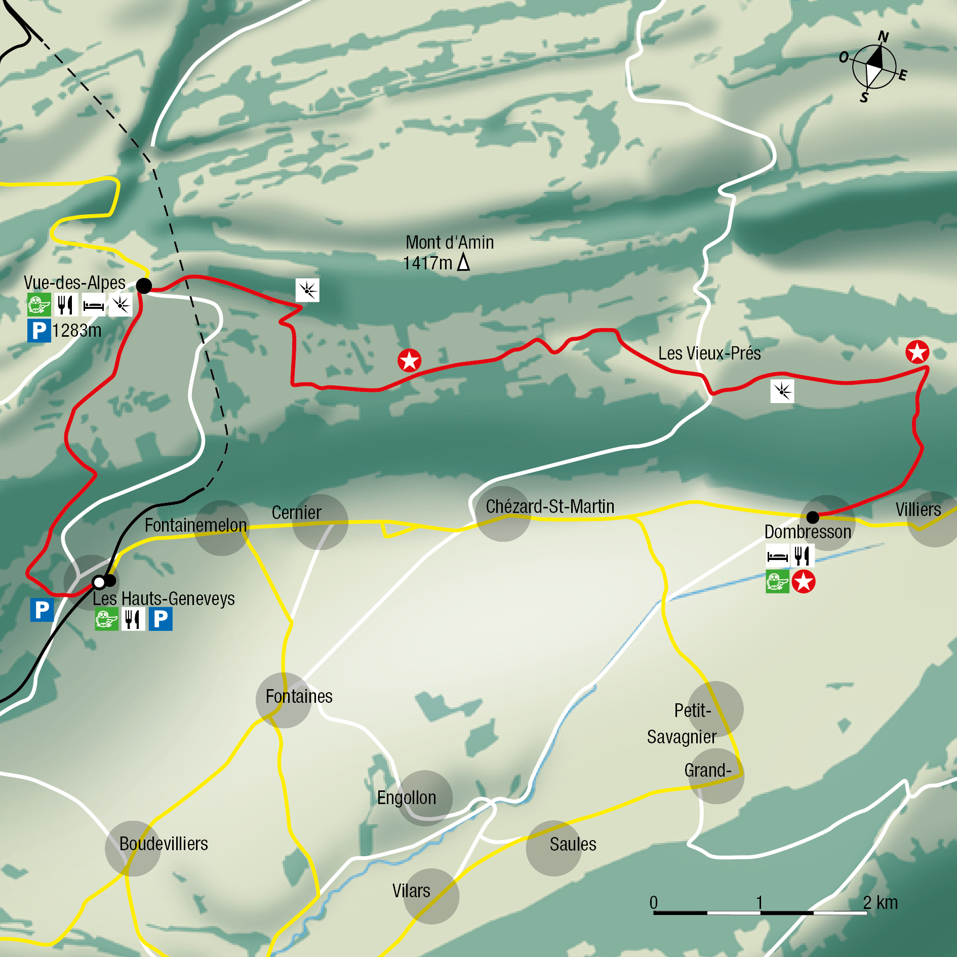
Dombresson → Les Vieux-Prés → La Vue des Alpes → Les Hauts-Geneveys
Chemins chouettes — The cattle passages

THE ROUTE

Follow
the trail.

Dombresson → Les Vieux-Prés → La Vue des Alpes → Les Hauts-Geneveys
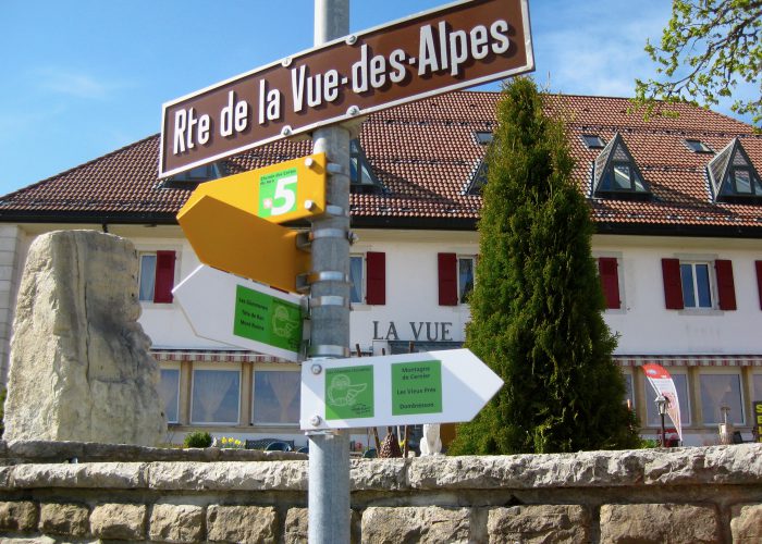
FIND YOUR WAY

Maps, elevation profiles
and descriptions.

Choose a route option that suits your time and interests. The times shown do not include breaks.

CHOOSE YOUR ROUTE

A loop.
Or part of the trail.

ROUTE OPTION

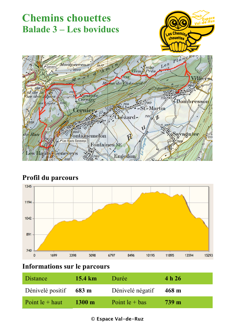
Main route

15.4 km · 4 h 26
Elevation change: +683 m / −468 m

ALONG THE WAY

Chemins chouettes — The cattle passages

Before you set off.

Check route conditions and transport timetables. Bring suitable equipment and read the practical information.

© 2026 · Conçu par Repair Hub